Learn what the Allgemeiner Gemeindeschlüssel (AGS) is, how it is structured, and how it is used to identify municipalities across Germany.
Allgemeiner Gemeindeschlüssel (AGS)
The Allgemeiner Gemeindeschlüssel (AGS) is a standardized identification system used in Germany to uniquely identify municipalities and administrative regions. It plays a crucial role in data management, governance, statistics, and digital systems that rely on accurate geographic referencing. Whether you're working in data analysis, government administration, logistics, or software development, understanding the AGS can significantly improve how you organize and interpret regional data.
This blog provides a comprehensive guide to the Allgemeiner Gemeindeschlüssel, including its structure, practical uses, benefits, and examples.
What is the Allgemeiner Gemeindeschlüssel?
The Allgemeiner Gemeindeschlüssel (AGS) is an official municipal code assigned to every administrative unit in Germany. It ensures that each municipality can be uniquely identified across databases, reports, and governmental systems.
Key Characteristics:
- It is a numeric code
- It uniquely identifies states, districts, and municipalities
- It is used across federal, state, and local systems
- It enables data consistency and interoperability
The AGS is particularly important in statistical reporting and administrative workflows.
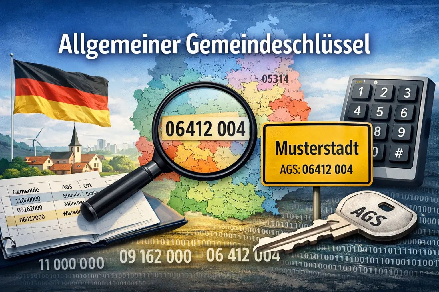
Structure of the AGS Code
The AGS is typically an 8-digit number, divided into multiple sections that represent different administrative levels.
Breakdown of the AGS:
| Section | Digits | Description |
|---|---|---|
| State (Bundesland) | 2 digits | Identifies the federal state |
| District (Kreis) | 3 digits | Identifies the district |
| Municipality (Gemeinde) | 3 digits | Identifies the municipality |
Example:
AGS Code: 09162000
- 09 → Bavaria (State)
- 162 → District
- 000 → Municipality
Each part provides a hierarchical understanding of the location.
Why is AGS Important?
The AGS system is essential for maintaining structured and reliable data across various sectors.
1. Data Consistency
AGS ensures that all systems refer to the same municipality using a standardized code. This avoids confusion caused by name variations.
2. Government Administration
Public institutions use AGS for:
- Census data
- Tax administration
- Urban planning
- Public service management
3. Statistical Analysis
Researchers and analysts use AGS to:
- Compare regional data
- Track population trends
- Analyze economic indicators
4. Digital Systems Integration
AGS is widely used in:
- GIS (Geographic Information Systems)
- ERP systems
- Logistics software
Practical Use Cases
1. Data Analysis Projects
If you are working with German datasets, AGS helps in:
- Filtering data by region
- Aggregating data at district or state level
- Linking datasets from different sources
2. Logistics and Supply Chain
Companies use AGS to:
- Optimize delivery routes
- Assign service regions
- Track shipments geographically
3. Government Reporting
AGS is used in official reports to ensure:
- Accuracy
- Uniformity
- Transparency
4. Software Development
Developers integrate AGS into applications for:
- Address validation
- Location-based services
- Regional analytics dashboards
Advantages of Using AGS
Using the Allgemeiner Gemeindeschlüssel offers several benefits:
Standardization
- Eliminates ambiguity in location names
- Ensures consistent referencing
Scalability
- Works across small municipalities to large states
Interoperability
- Compatible with multiple systems and datasets
Accuracy
- Reduces errors in data processing
Challenges and Limitations
While AGS is highly useful, there are some challenges:
1. Complexity for Beginners
Understanding the hierarchical structure may take time for new users.
2. Updates and Changes
Municipal boundaries can change, requiring updates to AGS codes.
3. Integration Effort
Systems must be designed to support AGS formatting and validation.
How to Work with AGS Effectively
Here are some practical tips:
Use Official Sources
Always rely on official German statistical offices for updated AGS codes.
Validate Data
Ensure that AGS codes match the correct municipality.
Normalize Formats
Keep AGS codes in consistent formats (e.g., always 8 digits).
Combine with GIS Tools
Use AGS alongside mapping tools for better visualization.
Example: Using AGS in a Dataset
Imagine you have a dataset containing population data:
| AGS | City | Population | |--||| | 11000000 | Berlin | 3,600,000 | | 09162000 | Munich | 1,500,000 |
You can:
- Group by state using the first 2 digits
- Analyze district-level trends
- Merge with other datasets using AGS as a key
AGS vs Other Location Identifiers
AGS vs Postal Codes
| Feature | AGS | Postal Code |
|---|---|---|
| Purpose | Administrative ID | Mail delivery |
| Structure | Hierarchical | Non-hierarchical |
| Usage | Data & governance | Logistics & addresses |
AGS vs GPS Coordinates
- AGS identifies administrative regions
- GPS provides exact geographic location
Both can be used together for advanced applications.
Future of AGS in Digital Transformation
With increasing digitalization, AGS is becoming even more important.
Emerging Trends:
- Integration with smart city systems
- Use in AI-driven analytics
- Expansion in open data platforms
AGS will continue to serve as a backbone for structured geographic data in Germany.
Conclusion
The Allgemeiner Gemeindeschlüssel is a powerful and essential tool for identifying municipalities across Germany. Its structured format, wide adoption, and reliability make it indispensable in data analysis, governance, and digital systems.
By understanding how AGS works and applying it effectively, you can improve data accuracy, streamline workflows, and unlock deeper insights into regional information.
Whether you are a developer, analyst, or researcher, mastering AGS is a valuable skill in working with German administrative data.
Final Thoughts
To summarize:
- AGS is a unique identifier for municipalities
- It follows a hierarchical structure
- It is widely used in data, government, and technology
- It enhances accuracy and consistency
Start incorporating AGS into your workflows today to take full advantage of structured geographic data.